

Express courier. Direct.
Also overnight.
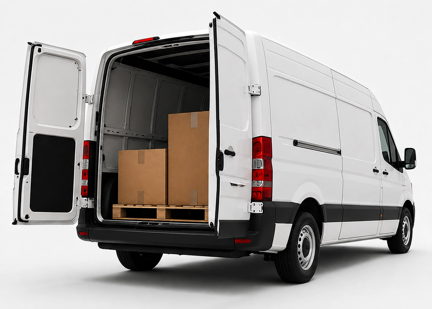
x25pronto Switzerland takes goods direct to the destination. Small loads go by car. Larger loads go by van or Van XL. Direct, express and overnight trips run Monday to Sunday when a slot is free. Free times are shown in the booking calendar. This keeps the plan clear.
Location grouping and optimal hub sites in Switzerland
A practical guide to group branches geographically and identify local hub sites in Switzerland to reduce routes, transit times and costs.
Quick answer
To group branches and find optimal local hubs in Switzerland, start with data on shipment volumes, delivery frequency and travel times. Cluster branches along main corridors (for example A1, A2, A3) and around agglomerations such as Zurich, Basel, Geneva, Lausanne or Bern. Choose hubs where many pickup and delivery points are close together and where vehicle access and parking are good. Run pilot routes and measure drive time, kilometres and cost per shipment to make decisions based on data.
Why location grouping helps
Grouping branches reduces empty runs and shortens delivery routes. Clusters increase vehicle utilisation. That lowers cost per shipment and improves on-time performance.
Step 1 – Collect and clean data
Gather addresses, regular delivery windows, shipment volumes per location and peak times. Use a central CSV or a simple database. Remove duplicates and fill missing postal codes.
Step 2 – Geocode and map
Convert addresses to coordinates (geocoding). Map locations with tools like QGIS, Google Maps or other simple GIS software. Visual maps reveal natural clusters and distance spreads.
Step 3 – Apply clustering methods
Use basic algorithms: k-means for clear groups, DBSCAN for density-based clusters, or hierarchical clustering for variable densities. Try different cluster counts to balance transit time and hub costs.
Step 4 – Define hub criteria
Score candidate hubs by proximity to cluster centroid, road access (motorway, main roads), parking and loading space, opening hours and rental availability. Focus on agglomerations like Zurich, Basel, Geneva, Lausanne, Bern and St. Gallen.
Step 5 – Pilot runs and KPIs
Run pilots in one to three clusters. Track drive time per stop, kilometres driven, vehicle utilisation and total cost. Compare with previous routes. Improve loading and sorting inside the hub.
Frequently asked questions
How many branches should one cluster contain?
It depends on shipment volume. Aim for enough stops to reach good utilisation but not so many that route times grow. Practical ranges are often 8–20 stops per tour.
Which tools help with route optimisation?
GIS tools (QGIS), geocoding services and specialised route optimisers help. Many teams pair simple clustering scripts with commercial TSP/VRP solvers for final planning.
How fast does a new hub pay off?
Payback depends on rent, volume and savings from shorter drives. A pilot and clear KPIs deliver realistic estimates. Avoid long leases before testing.
Should hubs be in big cities or near motorways?
Both can work. Urban hubs shorten inner-city distances. Motorway-access sites ease regional distribution. Choose based on your cluster shape.